BrightDrive / Brightskies2023 - 2024

SLAM & HD Mapping Evaluation for Autonomous Vehicle Map Correction

Designed and benchmarked a SLAM and HD mapping pipeline for high-precision offline map generation, focusing on accuracy, robustness, and map usability in real-world autonomous driving data.

The system evaluates multiple SLAM and mapping approaches and integrates dynamic object removal to produce clean, high-quality HD maps for downstream correction and deployment.

Core Stack

ROSSLAMHD MappingDynamic Object Removal
Point-LIO mapping result used for SLAM and HD map evaluation on autonomous vehicle data.

My Role

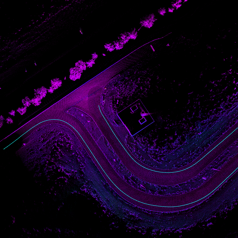
Built a benchmarking pipeline for LiDAR-based SLAM evaluation.

Designed evaluation criteria beyond standard metrics, including structural consistency and map quality.

Developed dynamic object removal modules for map refinement.

Selected and validated the final SLAM pipeline for production use.

Key Challenges

Ensuring high map accuracy under real-world sensor noise and drift.

Comparing SLAM algorithms with different assumptions and sensor fusion strategies.

Handling dynamic objects that corrupt map quality.

Evaluating performance beyond standard metrics through visual and structural consistency.

Key Results

Identified Point-LIO as the most accurate SLAM solution for the dataset.

Improved HD map quality through effective dynamic object removal.

Achieved approximately 15% improvement in map accuracy after filtering.

Delivered a reliable pipeline for offline map generation and correction.

Problem Setting

The task was to generate high-quality HD maps from recorded autonomous vehicle data for map correction purposes. Because the pipeline ran offline, it could use more computationally expensive methods in exchange for improved accuracy and consistency. The dataset consisted of ROS bag recordings from an autonomous bus, including LiDAR, camera, and GPS data.

SLAM Evaluation Pipeline

Built a benchmarking pipeline to evaluate multiple LiDAR-based SLAM algorithms, including Point-LIO, Fast-LIO and Fast-LIO2, LIO-SAM, and LOAM. Evaluation focused on trajectory consistency, structural map quality, robustness to sensor noise, and long-term drift. Based on empirical results, Point-LIO provided the best trade-off between accuracy and robustness for the dataset.

HD Mapping Evaluation

Evaluated HD map generation approaches using MapTR and MapTRv2, focusing on road structure extraction and compatibility with standard map formats such as OpenDRIVE (XODR). The pipeline ensured alignment between SLAM-generated geometry and structured map representations, enabling reliable downstream map correction and integration.

Dynamic Object Removal

To improve map quality, a dynamic object removal stage was introduced to eliminate transient objects such as vehicles and pedestrians. This stage combines learning-based methods such as ERASOR and Removert with geometric filtering through RANSAC to remove dynamic artifacts while preserving static scene structure. The result was significantly cleaner maps and an approximate 15% improvement in overall map accuracy.

Why This Matters

High-definition maps are critical for autonomous systems, but raw SLAM outputs often contain noise, drift, and dynamic artifacts. This pipeline focuses on improving map quality and reliability, enabling better downstream planning, localization, and map correction workflows.

Final Outcome

The final system delivers a robust offline SLAM and HD mapping pipeline capable of generating high-quality maps from real-world data. Key outcomes include the selection of an optimal SLAM backend in Point-LIO, improved map quality through dynamic object removal with roughly a 15% gain, and a reliable workflow for HD map generation and correction.